Angkor Wat Sunrise vs. Sunset Tour: Which Should You Choose?
Sometimes you won’t be able to access Google Maps or a physical map of your location when traveling through the Kingdom of Wonder.
That’s why we’ve made this hi-res map of Sihanoukville available for you to download for free. We hope this will come in handy for planning your trip in Cambodia and navigating around the seaside city.
This map is available for you to download for free. Use it for any purpose: Cambodia travel and planning, blog posts, and websites.
Use the download button to get the highest resolution map!
Hi-Res Sihanoukville Map
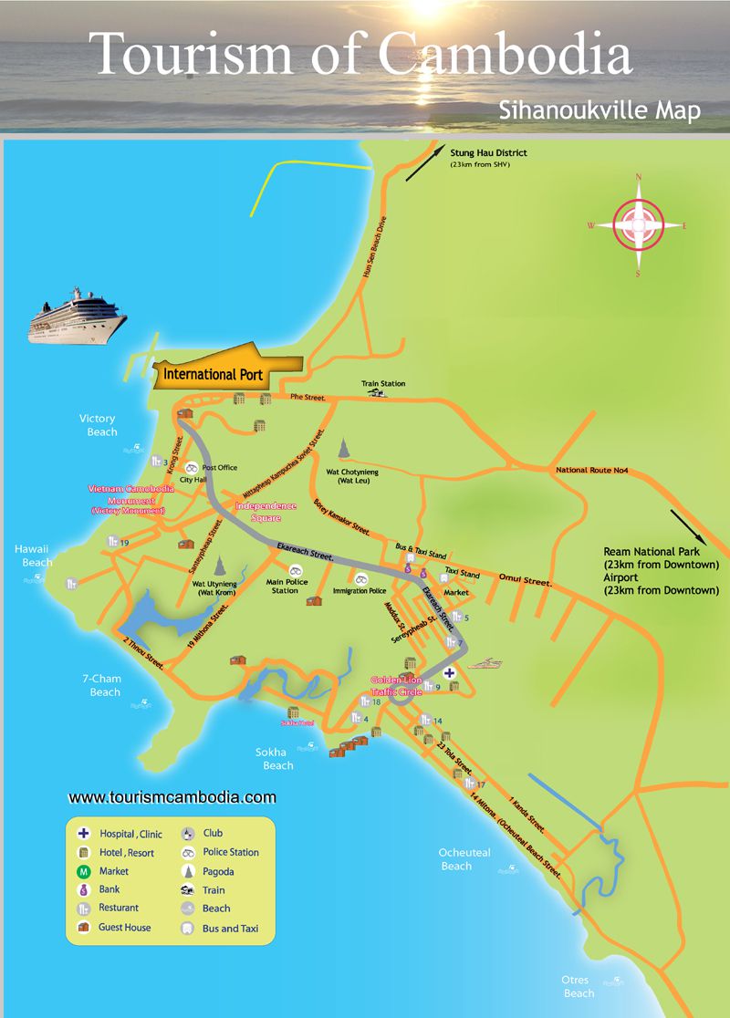
Sihanoukville is Cambodia’s well-known coastal city. The seaside town is located at the tip of an elevated peninsula in southwest Cambodia right off the Gulf of Thailand.
The city is bordered by an almost uninterrupted string of beaches. The Ream National Park lies to the east.
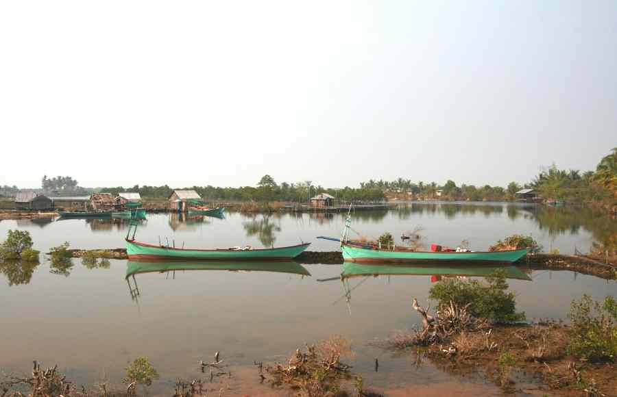
Sihanoukville has one navigable river, the mangrove lined Ou Trojak Jet which runs from the Otres Pagoda to the sea. A number of thinly inhabited islands are close to the city such as Koh Rong.
Sihanoukville’s many beaches and nearby islands make the city Cambodia’s premier seaside resort. Let us know if this map of Sihanoukville helped you on your Cambodian adventure!

Private SAI Siem Reap Airport Transfer – Siem Reap Airport Transfer, Just for You!
From: 30$
Shared SAI Siem Reap Airport Transfer – We depart every 1 hour!
From: 9$
Private Full-Day Siem Reap to Koh Ker & Beng Mealea Temple Tour
From: 75$
2-Day Angkor Wat Sunrise & Banteay Srei Grand Tour – Small Group Tours
From: 30$
2-Day Angkor Wat Temple Sunset and Floating Village Tour
From: 40$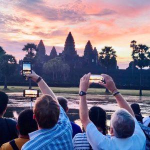
3-Day Angkor Wat Sunrise, Banteay Srei and Floating Villages Tour – Small Group Tours
From: 50$